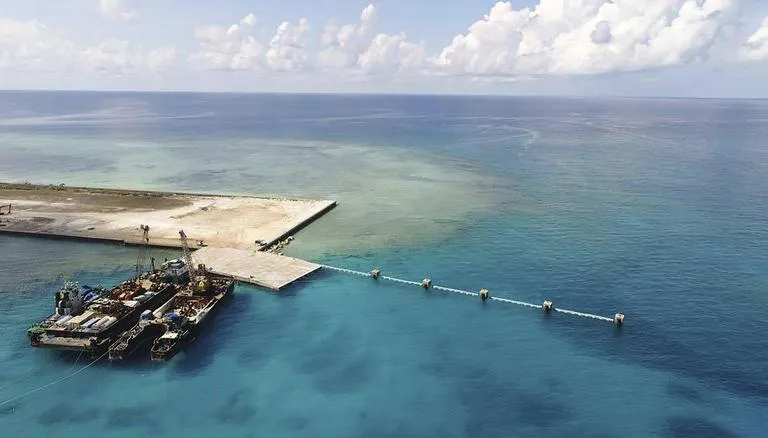
Chinese satellite monitoring of disputed islands and waters in the South and East China seas has increased in 2022, as per a report from the main contractor of China’s space program cited in a South China Morning Post report. The report, known as the blue book, states that remote sensing has been improved in areas such as the Senkaku Islands in the East China Sea, the South China Sea’s Scarborough Shoal, Macclesfield Bank, the Paracels and Spratly Islands, and the surrounding waters. The report also claims that China now can remotely sense all seas and islands under its administration.
According to the recent report from the China Aerospace Science and Technology Corporation (CASC), the country’s satellite program has made significant strides in providing crucial data for the administration and management of disputed waters and islands, including those used as territorial sea bases by China. The report highlights that a series of satellites now forms a continuous high-frequency observation capability with global coverage which has been effectively applied in sea and island management. Furthermore, this technology is used to monitor and forecast the marine environment and ecology, such as changes in ocean dynamics, including colour and activities. The Chinese government has been increasing its control over the South China Sea, an area of territorial disputes among several countries in the region.
The territorial disputes
The South China Sea is a region of growing tension due to territorial claims made by China, represented by the nine-dash line, which encompasses most of the strategic waterway. These claims have led to the increased presence of the US navy in the area, as they conduct “freedom of navigation” exercises to challenge these claims. The uninhabited Senkaku Islands, located northeast of Taiwan, are under the administration of Japan but claimed by China, have also led to increased tension between the two nations. Japan is not the only nation in territorial dispute with China. The Scarborough Shoal, a group of two rocks surrounded by coral, is a source of contention between China and the Philippines. In 2012, China gained control of the shoal after a naval stand-off, and it refers to the shoal and the neighbouring submerged Macclesfield Bank as the Zhongsha Islands. China is not the only nation increasing its surveillance in the region, as Japan and the US have set up a unit to monitor Chinese activities in the region. It is currently uncertain which nation holds the technological edge in the region.
Potential impact?
China’s surveillance technology and its use in disputed waters and islands, including those used as territorial sea bases, could have several potential impacts. Firstly, it could increase China’s ability to assert control over these disputed areas and potentially strengthen its territorial claims. This could lead to increased tensions with other countries that also have claims to these waters and islands. Secondly, the use of this technology for monitoring and forecasting the marine environment and ecology could lead to improved management of these resources, but it could also be used for extracting resources at an unsustainable rate or for illegal activities like overfishing. Thirdly, the use of these satellites for surveillance could also be used for military purposes, such as monitoring the movements of naval vessels from other countries and potentially increasing the risk of conflict.

